Understanding Trail Conditions During the Rainy Season
As heavy rains continue across Sri Lanka’s hill country, certain sections of The Pekoe Trail are seeing temporary challenges. This update provides hikers with accurate information to plan responsibly and stay safe while exploring the trail during wet weather.
The Pekoe Trail remains open, but hikers should be fully prepared for seasonal conditions and changing terrain.
As you plan your journey along The Pekoe Trail, please note that conditions can vary depending on the season, especially during periods of heavy rainfall. Certain sections may become more challenging, and we encourage hikers to check for updates before setting out.
To ensure a seamless experience and to support essential trail maintenance, remember to purchase your official Trail Pass before you begin your hike. The Trail Pass directly contributes to keeping the trail safe and accessible by funding path clearing, repair work, and ongoing route management. It also gives you access to useful updates and route insights.

Purchase your Trail Pass here
Stay informed, tread lightly, and let every step connect you deeper to Sri Lanka’s hill country.
Current Trail Conditions
Overgrown Vegetation
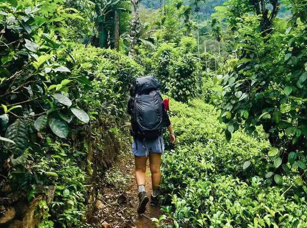
Rapid plant growth has affected accessible width in several sections. Clearing work is ongoing. However, in steep or remote areas, clearing will take time due to terrain difficulty and safety requirements.
Obscured Signage
Some signposts are currently partially covered by foliage. Navigation may require greater attention. We strongly recommend downloading an offline map before you begin your hike.
Mud, Leeches and Wildlife

Muddy pathways and slippery slopes are expected. Leeches are active during wet months and wildlife movement increases. Proper gear and awareness are essential.
Recommended items:
- Hiking boots with strong grip
- Rainproof clothing
- Salt or leech repellent
- Offline navigation app
Trail Stage Conditions and Recommendations
(Updated 2025)
| Stage | Route | Condition | Recommendation |
| 1 | Hantana to Galaha | Mostly clear, slight navigation points | Suitable for most hikers |
| 2 | Galaha to Loolecondera | Final forest section slippery and leech-active | Best during dry days; offline map recommended |
| 3 | Loolecondera to Thalawanthenne | Overgrowth near end | For experienced hikers |
| 4 | Thalawanthenne to Pundaluoya | Final section overgrown; visibility low | Avoid in heavy rain |
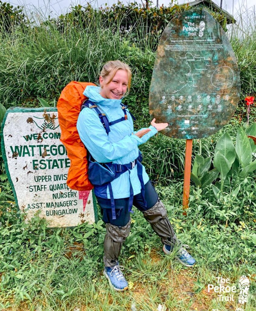
| 5 | Pundaluoya to Watagoda | Clear and gentle terrain | Suitable for all hikers |
| 6–8 | Watagoda to Bogawantalawa | Mostly clear; minor overgrowth near end of Stage 8 | Suitable for families and groups |
| 9 | Bogawantalawa to Dayagama | Muddy and leech-active in wet weather | Best during dry season |
| 10 | Dayagama to Horton Plains | Clear and well-marked | Cold and misty; warm layers required |
| 11 | Horton Plains to Udaweriya | Clear and scenic | Suitable for most hikers |
| 12 | Udaweriya to Haputale | Partly overgrown; possible landslide zones after heavy rain | Avoid in rainy season |
| 13 | Haputale to St. Catherine | Mostly clear | Suitable for all hikers |
| 14 | St. Catherine to Makulella | Steep sections; occasional navigation challenge | Offline map helpful |
| 15 | Makulella to Ella | Similar to Stage 14, remote segments | For confident hikers |
| 16 | Ella to Demodara | Easy and scenic | Ideal for beginners |
| 17 | Demodara to Haliela | Clear tea trails | Suitable for all levels |
| 18 | Haliela to Ettampitiya | Manageable terrain | Suitable for all levels |
| 19 | Ettampitiya to Lunuwatte | Clear paths | Best in dry weather |
| 20 | Lunuwatte to Uda Pusellawa | Scenic and gentle terrain | Suitable for most hikers |
| 21 | Uda Pusellawa to Kandapola | Elevated terrain; weather shifts rapidly | Warm waterproof gear recommended |
| 22 | Kandapola to Nuwara Eliya | Clear, gentle finish | Ideal final stage for all hikers |
General Safety & Planning Tips
Best Season to Hike:
- December to April (primary dry season)
- July to September (secondary hiking window)
Avoid:
- May to June and October to November due to monsoon rains
Essential Gear:
- Waterproof jacket
- 1.5 to 2 liters of water per day
- Offline GPS map
- Sun protection
Trail Etiquette:
- Respect estate workers and village residents
- Purchase locally when possible
- Carry all waste back with you
The Pekoe Trail Experience at a Glance
The Pekoe Trail spans 22 stages across Sri Lanka’s historic tea country, giving travelers access to forests, plantations, waterfalls and timeless mountain villages.
Shorter, scenic sections like Ella to Demodara and Stage 5 near Watagoda are perfect for casual walkers. More adventurous hikers can take on high-altitude ridges, misty forest passes and steep tea-estate climbs in stages near Haputale, Dayagama and Horton Plains.
Each stage offers something unique:
- Heritage tea regions
- Cool mountain climates
- Authentic rural life
- Quiet nature immersion
This is travel at a slower rhythm and deeper breath.
A Note to Hikers
During this season, patience and preparedness are key. Trail maintenance is ongoing and every traveler who respects the land helps protect it for the next.
Exploring The Pekoe Trail during the rains brings mist, mood and mystery. With the right awareness and equipment, it remains one of Sri Lanka’s most rewarding journeys.
For updates, always check weather forecasts, begin hikes early and follow guidance from local hosts and trail officers.
Hike safe. Walk mindfully. Protect the hills that protect us.